Southland Professional Engineers has been involved in the field of telecommunications since 1964. Our clientele have included various telecommunications companies, Dept. of Defense, Data Transport Companies and CATV Companies. Although we work primarily in the Southeast, our projects have spanned eighteen states from Arizona to Massachusetts. We are presently working in Alabama, Georgia. & Florida.
Providing quality professional services to meet your telecommunication needs.
Services

Facilities Design
Southland has expertise in all phases of outside plant design. We provide a total engineering package including right-of-way acquisition, field staking, construction drawing preparation, engineering and design (including job and cost management), and construction supervision and inspection, as well as other utility and governing body coordination.
Permitting
Southland has extensive experience in the completion of all stages of the permit process. We develop permits for City, County, State and the U.S. Government. We have experience in permitting for the Corps of Engineers, U.S. Forest Service, environmental, architectural, historical, levee, railroad easements, power, and developing and designing tunnel and bridge attachments.
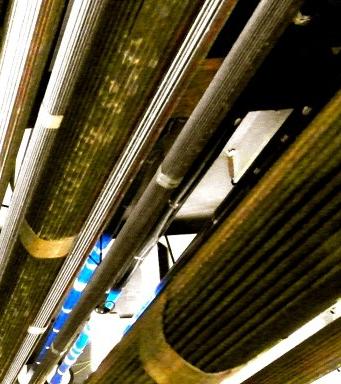
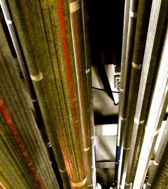
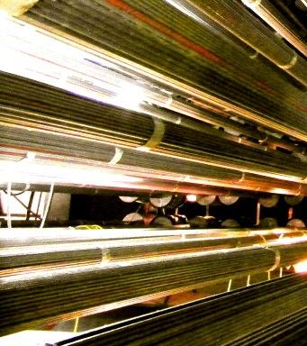
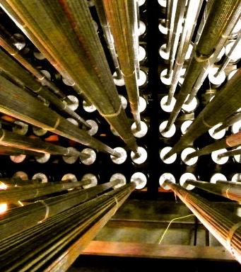
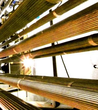
Fiber Optic Design
We are experienced in all aspects of fiber design (FTTH, FITL, etc.) From long haul fiber to cell site feeds, to residential fiber build outs. We are familiar with a wide range of carrier systems including placement drawings and related forms and documentation.
Planning
Southland has been involved in long range planning activities since 1979. We have experience with a variety of planning programs and databases developed for telephone companies.
GPS MAPPING AND DESIGN
Using sub-foot Trimble technology, Southland can provide our clients scaled mapping and geo-referenced facility designs. This enables the collection of raw data to be used in several CAD and GIS formats.
DRAFTING SERVICES
Our drafting team skilled in drafting all types of maps, schematics and construction drawings utilizing both Microstation and AutoCad drafting applications. Our team is also skilled in the use of QGIS and the use of digital imagery to enhance the construction drawings provided to our clients.